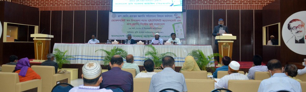


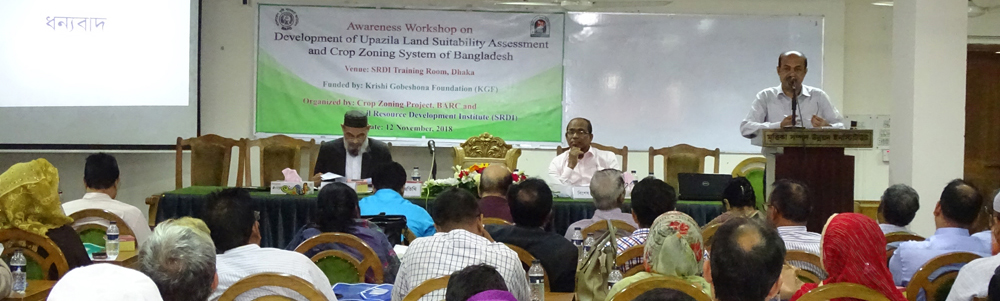

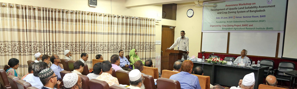
Development of Upazila Land Suitability Assessment and Crop Zoning System of Bangladesh ডেভেলপমেন্ট অব উপজেলা ল্যান্ড সুইটেবিলিটি এসেসমেন্ট অ্যান্ড ক্রপ জোনিং সিস্টেম অব বাংলাদেশ

About Agri-Advisory Portal কৃষি পরামর্শক বাতায়ন সম্পর্কে
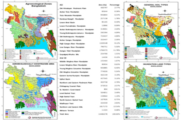
About Crop Zoning Information System (CZIS) ক্রপ জোনিং সফটওয়্যার সম্পর্কে (CZIS)
Services সেবাসমূহ
-
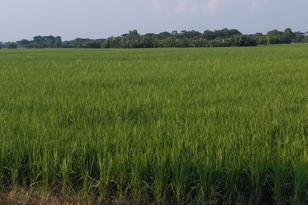
Crop Suitability ফসলের উপযোগিতা
Upazila Based Suitable Crops উপজেলা ভিত্তিক উপযোগি ফসল এলাকা
View service details পরিষেবার বিস্তারিত দেখুন -

Soil Health মাটি স্বাস্থ্য
Soil fertility status and other chemical properties maps of Upazila উপজেলার মাটির উর্বরতার অবস্থা এবং অন্যান্য রাসায়নিক বৈশিষ্ট্যের মানচিত্র
View service details পরিষেবার বিস্তারিত দেখুন -
Crop Economics শস্য অর্থনীতি
Information on upazila wise crop and cropping pattern with Gross Margin (GM) and Benefit cost ratio (BCR) গ্রস মার্জিন (জিএম) এবং বেনিফিট কস্ট রেশিও (বিসিআর) সহ উপজেলাভিত্তিক ফসল এবং ফসল বিন্যাস সম্পর্কিত তথ্য
View service details পরিষেবার বিস্তারিত দেখুন -
Agri GeoLink
Maps and shapefiles of AEZ, Climate, Administrative boundaries and other features
View service details পরিষেবার বিস্তারিত দেখুন

- Season wise Land specific Suitable Crop ফসল মৌসুম অনুযায়ী ভূমির উপযোগি ফসল
- Crop-wise Fertilizer Recommendation based on Soil Fertility Status মাটির উর্বরতামান অনুযায়ী ফসলভিত্তিক সার সুপারিশ
- Upazila based Suitable Crop area উপজেলা ভিত্তিক উপযোগি ফসল এলাকা
- Crop Varieties, Yield & Duration ফসলের জাত, ফলন ও জীবনকাল
- Upazila Cropping Pattern উপজেলা ফসল বিন্যাস
- Crop Production Technology ফসল উৎপাদনের প্রযুক্তি
Success Story সাফল্যের কাহিনি
-
Floating Agriculture Technology ভাসমান কৃষি প্রযুক্তি
-
Vermicompost Production Technology ভার্মিকম্পোস্ট উৎপাদন প্রযুক্তি
-
Hhydroponic Farming Practices হাইড্রোপনিক প্রযুক্তি ব্যবহার করে কৃষি কাজ
-
Roof Garden ছাদ বাগান
-
Successful farmers in group based vegetable production গ্রুপভিত্তিক সবজি উৎপাদনে সফল কৃষক